Published : 01 Feb 2019, 05:53 PM
Updated : 17 Oct 2022, 11:34 AM


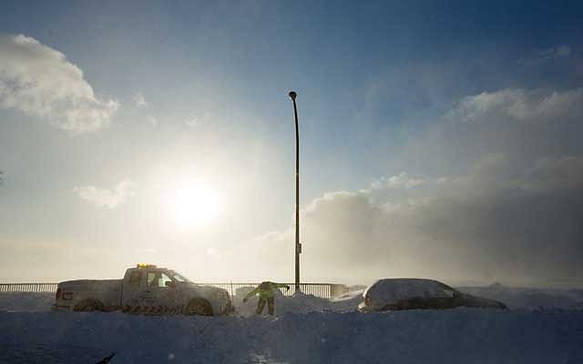
Temperatures should reach the mid 40s to low 50s Fahrenheit through the weekend and Monday, forecasters said, after a record-breaking cold snap that stopped postal service and shuttered schools and businesses.
The polar vortex is an icy cap of air that usually swirls over the North Pole. Changing air currents caused it to slip down through Canada and into the US Midwest this week.
"The cold air isn't pushing off anywhere, it's just sort of evaporating," said Brian Hurley, a meteorologist with the National Weather Service's Weather Prediction Centre in College Park, Maryland.
"So we're going from 21 below zero (Fahrenheit) in Chicago Thursday morning to near 50 above on Monday," he said. "It'll feel like a heat wave."
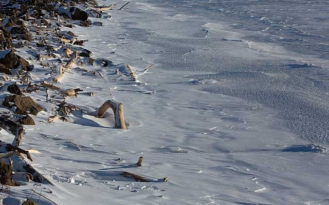
Rocks and driftwood are seen at the frozen Lake Erie beach during the polar vortex in Buffalo, New York, US, Jan 31, 2019. REUTERS
More than 40 cold-temperature records were broken Thursday, the coldest morning since the polar vortex moved in late on Tuesday. The mass of arctic air had clung to a swath of the US from Iowa and the Dakotas across the Great Lakes region and into Maine for days.
The coldest recorded temperature was minus 56 in Cotton, Minnesota, on Thursday, the weather service said.
Officials across multiple states linked numerous deaths to the frigid air. The death toll rose after at least nine more people in Chicago were reported to have died from cold-related injuries, according to Stathis Poulakidas, a doctor at the city's John H Stroger Jr Hospital.
But on Friday, Amtrak train services that were halted since Wednesday in Chicago's hub will resume, as will US Postal service halted or limited in six Midwest states.
And while thousands of flights were cancelled and delayed, mostly out of Chicago, the flight-tracking site FlightAware reported cancellations were down to just over 750 and delays just over 130.