

Published : 27 Oct 2022, 02:09 AM
Updated : 27 Oct 2022, 04:28 AM


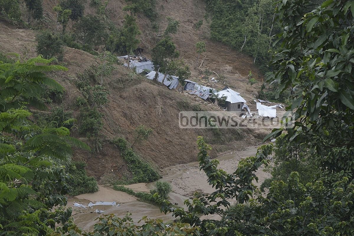
A single-day rainfall in the hill tracts smashed all records of the past half a century about five years ago before it lasted for three straight days claiming 160 lives in landslides. In 2007, another 127 people died in similar disasters in Chattogram.
While these instances mark two of the major tragedies, minor landslips in the hills claim lives every year due to the rains and four deaths were reported this year.
Forecasts for cyclones, floods and heavy rains do not include warnings of landslides, and several international and local development organisations say predictions about landslips can help reduce the damage to lives and property.
They have designed a warning model taking rainfall of the preceding 10 days into account. Forecasts making local residents, community volunteers and public representatives aware in areas at risk is likely to increase the probability of getting people out of harm’s way.
THE MODEL
Caritas Bangladesh, a catholic charitable organisation, is working on project “Sakkhamata” across six regions under threats of landslides at Bandarban Sadar and two unions in Lama Upazila, through local development agency Tajingdong and BNKS with technical assistance from Catholic Relief Service, CRS. It is being financed by United States Agency for International Development.
Forewarn Bangladesh is also providing technical assistance while the local administration is delivering expertise in the forecast by coming up with the experimental model.
The framework tables a proposal of warning marked with different colours based on the forecast of rain.
According to the model, landslides can be triggered by 100mm or more rainfall in a day, 250mm or more rainfall over three days while downpours of 350mm or more for seven straight days can cause it as well.
BLUE, YELLOW AND RED SIGNALS
A blue signal is received on the first day of the warning when a landslide is likely if it rains as per the forecast for three consecutive days. A yellow indicator flags the fourth day of the warning and suggests evacuating people to safety from a risk zone. If this condition sustains for two more days, the likelihood of a mudslide will increase further.
The red warning comes on the sixth day, signals imminent landslide and suggests immediate removal of all people from risk zones.
In a workshop of the Department of Disaster Management on Monday, participants provided opinions on proposing the model at the national level.
Ashraful Haque, the coordinator of Forewarn Bangladesh, said: “We’ve seen that it is possible to send a 10-day forecast on the state of the weather. The Met Office delivers such forecasts to districts and Upazilas. We’ve shared a 10-day forecast with the community.”
“People would be warned through announcements on loudspeakers if it rains for two-three consecutive days. They’ll now know which areas are at risk, when and how much it might rain, and what sort of action needs to be taken if it does - these things were not done before."
Ashraful said they were trying to familiarise everyone with the forecast and warning signs, and launched a voluntary group on Facebook for the community including local public representatives.
“The model’s very simple and we can reduce damage to lives and property if we can do the simple task.”
Their work method is as follows:
Landslide warning messages based on rain forecasts will be publicised.
As many as 60 volunteers will be placed in the six risk zones.
The volunteers will provide rain forecasts for nine days to the people.
HOW IT WORKS
Coordinator Ashraful said people in the risk zones will get eight-nine days' time to prepare for a disaster after assessing the risk upon receiving a forecast made 10 days in advance.
“This forecasting can now be applied at the regional level. When the people of an area see a forecast and match it with how much it is actually raining, it will reinforce their faith in the predictions."
According to an official, six rain gauges will be placed around the regions the project will assess to measure rainfall.
“Locally trained people will gauge rainfall and publish their findings in the Facebook group. A forecast will be formulated by analysing the data to announce warnings and move people to safety.”
Ashraful said they made the model for a small community but it includes details on preparations, actions, and responsibilities of government and non-government agencies, and traders.
‘TRUST MUST BE ESTABLISHED’
Snigdha Chakraborty, country manager at CRS, said: “The Bangladesh Landslide Early Warning System is yet to be completed. It’s a difficult task. We need geomorphological data and in-depth scientific studies, and they are time-consuming.”
“We need to engage a lot of stakeholders in this work. These areas at risk are landslide-prone and environmental threats are another matter. The forewarning system for the country’s landslides is still being studied.”
She mentioned that the disaster management department had already stepped into the development. “The government does have plans and it will also have assistance. The government’s early warning systems are very successful. Landslides don’t occur everywhere in the country, so this particular operation hasn’t been undertaken.”
“We ran pilots in two places, and hopefully, we’ll be able to come up with something substantial working with the government.”
Snigdha stressed the difficulty of sending messages to isolated regions. “We’ve established awareness on how to deliver the messages. Our chief goal is reaching out to the last mile and we worked accordingly.”
“The community volunteers are the first step to do that. We’ve trained them first-hand to speak with locals in three languages, including theirs and Bangla, to go to every doorstep.”
“We have to let everyone know through traditional methods and through the local religious leaders to swiftly establish trust. The administration will always help out but it has to be done together.”
“It’s not difficult to gather information, but it is so because the area is largely isolated. The place has to be reached on foot. It depends on how prepared those who will collect data are and although telecoms network has been established, it will take much time to do it… but from my experience, it’s not impossible anymore.”
HILL PEOPLE TO BENEFIT
Alexander Tripura, head of disaster management at Caritas Bangladesh, said landslides have increased since 2007 before a lot of people died in 2017. Everybody agrees that a forecasting method will be "very useful".
“The locals know where to reside, where landslides might occur - they have the idea. A method to let them know beforehand is in place. Union volunteers are there too with the experience and knowledge. The areas are equipped with machinery, and rain gauges while union centres have printers.”
“Risk knowledge analysis is complete, knowledge has been gathered, and people have been engaged. Now we have to make them aware and monitor the situation. Simply knowing won’t do, it has to be absorbed,” Tripura added.
NATIONAL POLICY RECOMMENDATIONS
The workshop discussed forwarding policy recommendations at the international level on the experimental model. It presented a documentary on a four-phase method of Landslide Early Warning System.
The phases include determining risks, and observation, analysis and forecasting at the initial levels, followed by warning and communication in the third and preparation in the fourth.
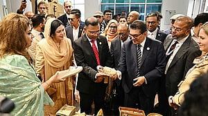
At the workshop, Md Atiqul Haque, director general of the disaster management department, hoped to turn the two unions where the experimental project is being applied into model unions.
[Writing in English by Syed Mahmud Onindo, editing by Biswadip Das]